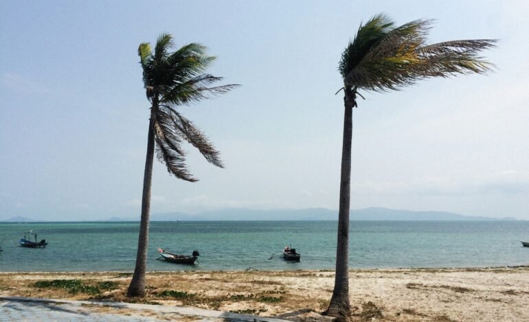
Photo of Alexey Demidov in Unsplash
Hurricane Melissa strengthened explosively early Monday morning, reaching Category 5 status, the highest on the Saffir-Simpson scale, with sustained winds exceeding 260 kilometers per hour. The storm is moving slowly west-northwest, placing Jamaica under a full red alert in anticipation of its imminent impact.
Jamaican authorities declared a national state of emergency and ordered mandatory evacuations in coastal and highly vulnerable areas. More than 800 shelters have been set up across the island, while international airports have closed operations and commercial flights have been suspended.
The Jamaica Meteorological Service warned that the combination of extreme winds, torrential rains, and storm surge could cause catastrophic damage, especially on the south coast and in mountainous areas. Rainfall exceeding one meter is expected in some locations, along with waves as high as four meters that could flood entire communities.
Hurricane Melissa is expected to gain strength in the last 36 hours.
Prime Minister Andrew Holness urged the population to remain calm and assured them that emergency teams and security forces are deployed throughout the country. "We are facing an unprecedented event. We ask you to follow official instructions and not expose yourselves to danger," he said on national television.
Meanwhile, the U.S. National Hurricane Center (NHC) indicated that Melissa will remain an extremely dangerous system for at least the next 36 hours. Its path projects a close pass near Jamaica before moving toward Cuba and the Cayman Islands, where warnings have also been issued.
Meteorologists have highlighted the unusual speed with which Melissa intensified, going from a tropical storm to a major hurricane in less than 48 hours, an increasingly frequent phenomenon associated with the warming of the waters of the Atlantic and the Caribbean.
Relief agencies have warned of the possibility of serious power outages, communications disruptions, and severe damage to infrastructure. "This is a hurricane that combines all the risk factors: strength, slowness, and extreme humidity," explained local meteorologist Diana Campbell.
Just hours before the hurricane's eye hits, tension is palpable in Kingston and other major cities. Empty streets, closed businesses, and long lines at gas stations and supermarkets mark the pulse of a nation preparing to face the impact of one of the most powerful hurricanes in its history.
For more stories like this, follow More Latin.
Sources:

